A Serious Weather Pattern Change Is Coming…
Summary
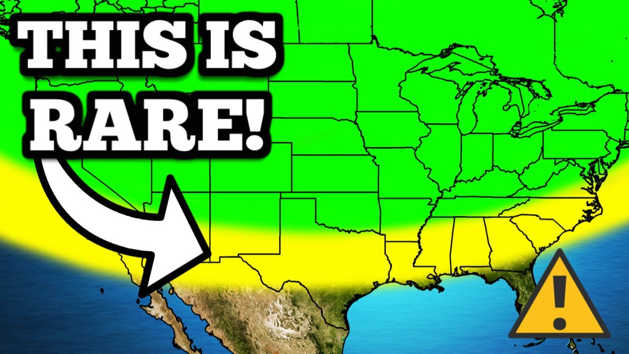
TLDRA major storm system is expected to bring severe weather, temperature swings, and snow to the central US, starting Tuesday. The combination of Pacific moisture, Canadian cold, and Gulf warmth is anticipated to produce hail, damaging winds, and possibly tornadoes. The storm will intensify, affecting the Rockies and bringing heavy snowfall. Warm air and cold air collision on Thursday poses the most significant threat for severe weather, particularly in the South Central US. Meanwhile, the west coast will experience cooler temperatures, but a new ridge will bring warmth back by the weekend. The video also highlights the upcoming total solar eclipse on April 8th and recommends ViSiSolar safety glasses for viewing.
Takeaways
- 🌤️ A high-pressure ridge is causing spring-like weather in the central US.
- 🌪️ A storm system from the Pacific Northwest will bring severe weather, temperature swings, and snow.
- ⏰ The storm's impact will be felt starting Tuesday, with severe weather potential in the central US.
- 🌡️ The storm combines Pacific moisture, Canadian cold, and warm Gulf air, leading to temperature anomalies.
- 🌧️ The Pacific Northwest and Rocky Mountains will experience snow and rain, while the central US will have thunderstorms.
- 🌀 The storm will intensify on Wednesday, with heavier snowfall in the Rockies and increased risk of severe weather.
- 🌦️ Warm air from the south and cold air from the north will continue to fuel the storm system into Thursday.
- 🌩️ The most significant severe weather threat is anticipated for Thursday, especially in the South Central US.
- 🌔 The total solar eclipse on April 8th, 2024, is a must-see event, and special safety glasses are required to view it.
- 🧤 After the storm, colder air will move in, affecting temperatures and potentially causing lake-effect snow in the Great Lakes region.
Q & A
What weather phenomenon is currently building in the central US?
-A big ridge of high pressure is building in the central US, leading to mostly nice and spring-like weather.
What is expected to change the weather conditions in the central US?
-A storm system diving in from the Pacific Northwest will change the weather conditions, leading to severe weather, temperature swings, and snow across the country.
When will the impacts from the storm system be felt in the central US?
-The impacts from the storm system will start to be felt on Tuesday, with a chance of severe weather in the central US.
What types of severe weather are expected with the upcoming storm system?
-The expected severe weather includes hail, damaging winds, and possibly isolated tornadoes or two through the early morning hours.
How does the combination of Pacific moisture, Canadian cold, and warm Gulf air contribute to the storm system?
-These different air masses combine to create a big trough of cooler air aloft, which is associated with the severe weather expected in the central US.
What temperature anomalies are expected due to the storm system?
-Temperatures will be 10 to 15 degrees below average across the west coast, while the central US and Canada will experience above-average temperatures, with Chicago expecting highs in the low 60s and Oklahoma and Texas in the upper 70s and lower 80s.
What is the expected impact of the storm system on the Rockies?
-The storm system will lead to much heavier snowfall in the Rockies, with Wyoming, Colorado, and Utah getting hammered by heavy snow. Some parts of Colorado at sea level may receive over a foot of snow.
What is the potential severe weather threat on Thursday?
-The most significant threat of severe weather is expected on Thursday, particularly in the South Central US, due to a surge of warm air colliding with the remaining cold air on the backside of the collapsing 500 millibar trough.
What precautions are recommended for those living in areas at risk for severe weather?
-Residents in areas at risk for severe weather should pay attention to the weather, be prepared for potential hazards, and follow any warnings or updates from local authorities.
What is the significance of the total solar eclipse mentioned in the script?
-The total solar eclipse on April 8th, 2024, is a must-see event and the first of its kind in the US since the last one seven years ago. It will be visible to much of the US, but special safety glasses are required to view it safely.
How can one prepare for the total solar eclipse?
-To prepare for the total solar eclipse, one can purchase safety glasses approved by NASA and compliant with CE and ISO standards, such as those offered by ViSiSolar, to protect the eyes while viewing the event.
Outlines
🌪️ Severe Weather Forecast and Total Solar Eclipse Preparation
The paragraph discusses an upcoming weather pattern in the United States, highlighting a high-pressure ridge leading to pleasant spring-like weather in the central US, which will be disrupted by a storm system from the Pacific Northwest. This system is expected to cause severe weather, temperature swings, and snow across the country, with the impacts beginning on Tuesday. The storm is associated with a trough of cooler air that combines Pacific moisture, Canadian cold, and warm Gulf air, leading to potential severe weather in the central US, including hail, damaging winds, and isolated tornadoes. The Storm Prediction Center has issued a marginal risk of severe weather for Tuesday. The paragraph also discusses the temperature anomaly map, showing cooler air in the west coast and warmer temperatures in the central US and Canada, which increases the risk of thunderstorms. The forecast for the following days includes stronger storm systems, heavy snowfall in the Rockies, and potential severe weather in the South Central US on Thursday. The paragraph concludes with a reminder about the upcoming total solar eclipse on April 8th, 2024, and a shoutout to the video's sponsor, ViSiSolar, which provides safety glasses for viewing the eclipse.
🌞 ViSiSolar Sponsorship and Severe Weather Precautions
This paragraph continues the discussion on the total solar eclipse and emphasizes the importance of using ViSiSolar's safety glasses for viewing the event on April 8th, 2024. It highlights the scarcity and high cost of these glasses during the previous eclipse and urges viewers to prepare early to avoid similar issues. The glasses are noted for being made in the USA, NASA approved, and compliant with CE and ISO standards. The paragraph also mentions ViSiSolar's photo filters for capturing the eclipse with smartphones. The weather forecast is then revisited, focusing on the severe weather potential for Thursday, especially in the red-highlighted region of the US. It mentions the initial risk of tornadoes, hail, and damaging winds, and the possibility of heavy rain leading to flash flooding in Texas and Louisiana. The paragraph ends with a general overview of the weather pattern, including the cold air push and lake effect snow in the Great Lakes region, and the formation of a new ridge in the west that will affect temperatures across the country. The video concludes with a reminder to stay weather aware and to follow the channel for updates.
Mindmap
Keywords
💡high pressure ridge
💡storm system
💡trough of cooler air
💡severe weather
💡temperature anomaly map
💡total solar eclipse
💡VSiSolar
💡lake effect snow
💡flash flooding
💡SPC outlook
💡tornado risk
Highlights
A big ridge of high pressure is building in the central US, leading to mostly nice and spring-like weather.
A storm system from the Pacific Northwest will bring severe weather, temperature swings, and snow across the US.
The impacts from the storm system will be felt starting on Tuesday, with a chance of severe weather in the central US.
The storm is expected to produce hail, damaging winds, and possibly isolated tornadoes through the early morning hours.
The Storm Prediction Center has highlighted a marginal risk of severe weather on Tuesday for certain areas.
The same storm system will bring snow and rain to parts of the Pacific Northwest and the Rocky Mountains.
Temperatures on the west coast will be 10 to 15 degrees below average due to the storm system.
Warm air from the south will create an elevated risk of thunderstorms.
On Wednesday, the storm system will be stronger, leading to heavier snowfall in the Rockies.
Parts of Colorado at sea level may receive over a foot of snow.
The Gulf of Mexico moisture will also fuel rain and thunderstorms along the warm front on Wednesday.
The severe weather risk increases on Thursday, especially in the South Central US.
The 500 millibar trough carrying cold air from Canada will start collapsing on Thursday, leading to a more intense surge of warm air.
The SPC outlook for Thursday shows a very real potential for severe weather, especially in areas that will experience the upcoming total solar eclipse.
ViSiSolar, the video's sponsor, makes safety glasses for viewing the total solar eclipse on April 8th, 2024.
The total solar eclipse on April 8th is a must-see event and the last one was seven years ago.
ViSiSolar's glasses are made in the USA, NASA approved, and CE and ISO compliant for eye protection during the eclipse.
Heavy rain and flash flooding are possible in Texas and Louisiana due to the storm system.
After the storm, colder air will funnel in, affecting temperatures across the US.
The west coast will be above average in temperatures by the end of the weekend due to a new ridge forming in the west.
Transcripts
Right now, a big ridge of high pressure is building in the central US, leading to
mostly nice and spring-like weather. But a storm system is diving in from the Pacific
Northwest that will change everything. This is going to lead to several days of severe weather,
temperature swings, and snow across the country. And we are really going to start to feel the
impacts from this storm system on Tuesday, as we do have a chance of severe weather in the central
US. This is associated with a big trough of cooler air aloft that's combining Pacific moisture,
Canadian cold, and warm Gulf air all in the same spot. The big storms that we expect to
happen are expected to pop up late in the evening, maybe around 8 or 9 p.m.,
and then they're going to be able to produce hail, damaging winds, and maybe even an isolated tornado
or two through the early morning hours. The Storm Prediction Center has highlighted this area under
a marginal risk of severe weather on Tuesday for the very reasons we just listed off, so if you
live under the dark green here, make sure you're paying attention to the weather on Tuesday. Now,
while all this is happening in the central US, over here in the west, the same storm system will
be bringing snow and rain to parts of the Pacific Northwest and the Rocky Mountains. This unsettled
weather will be accompanied by much cooler air as well. As you can see here on the temperature
anomaly map, the cool air trough driving our storm system is sending temperatures anywhere
from 10 to 15 degrees below average all across the west coast. But look at all that warmth in
the central US up into Canada. You see, out ahead of our trough, the warm air is allowed to advect
farther northward. This is one of the big reasons we have an elevated risk of thunderstorms. Tuesday
evening, it's going to be near 20 degrees warmer than usual in Chicago, which means that the high
temperature is going to be in the low 60s. And farther south down here in Oklahoma and Texas,
it's going to be well into the upper 70s and lower 80s. This combination of warm air and cool air
will continue to fuel our storm system as we go into Wednesday. In fact, on Wednesday, the storm
system as a whole is going to be a lot stronger. This is once again evident from our temperature
anomaly map. Just look at the huge area of above average temperatures in the east, and then that
cold pool of air in the west. The increased intensity of these two air masses will lead to
much heavier snowfall in the Rockies on Wednesday. Wyoming, Colorado, and Utah will be getting
hammered by heavy snow, and this storm system is going to continue to get stronger and stronger as
it interacts with that moisture from the Gulf of Mexico. And by the time this is all said and done,
some parts of Colorado at sea level, on the front range, not even in the higher elevations, will
probably get over a foot of snow. And all of that juicy Gulf of Mexico moisture that's coming up
into the storm isn't just going to be fueling the snowstorm. Of course, more rain and thunderstorms
will form along the warm front late in the evening on Wednesday in places like Kansas and Missouri.
And some of those storms could be strong, bringing some hail and wind. But the real severe weather
risk doesn't come around until Thursday, especially down here in the South Central
U .S. You see, the big driving factor behind this whole shebang is the 500 millibar trough carrying
all that cold air down from Canada. But that thing is going to start collapsing on Thursday,
and it's eventually going to completely dissipate. But as it falls apart, it's going to try to go out
with a bang, really emphasizing that ridge on the eastern side right at the last minute. As a result
of this, on Thursday, a much more intense surge of warm air is going to get chucked up into the
country, and this will collide with what's left of the cold air on the backside. And in my opinion,
this is going to lead to our most significant threat of severe weather in the near future. And
I'm going to go over all the details around that right here in a minute. But first, here's a look
at the SPC outlook for Thursday. Even they are highlighting this area for a very real potential
for severe weather. One of the first things I notice about the highlighted region here is it
lines up almost perfectly with some of the first places in the U.S. that will get to experience
our total solar eclipse that's coming up in about a month. And speaking of the total solar eclipse,
we have to shout out today's sponsor, which is ViSiSolar. And what ViSiSolar is,
is it's a company here in the U.S. that makes these safety glasses that allow you to look
at the sun specifically during the total solar eclipse. And trust me, if you ever have plans
on looking at the sun, you're going to need some of these. You see, this solar eclipse
that's coming up on April 8th, 2024 is a must-see event for every human being that's alive today
that has the ability to experience it. The last total solar eclipse we had was seven years ago,
and I went to experience totality, and it was honestly one of most insane moments of my life.
I will never forget it. When we got to our spot though, we realized that we didn't have any eye
protection and we wanted to look at the sun obviously to see what was happening. So we
ended up having to buy some of these glasses off of somebody in the parking lot for a whopping $20
per pair because there was a shortage. And listen, this upcoming solar eclipse is a way bigger deal
than the last one. This one's going to last longer and it's going to be 2044 before there's another
one here in the US. So I imagine even more than last time, if you wait to the last minute, these
are going to be very hard to come by. So go ahead and click the link in the top of the description
to get a pair of these bad boys for just a couple of bucks over on ViSiSolar.com. Heck,
if I were you, I'd go ahead and get a whole daggone box so you can be the guy selling them
for $20 in the parking lot if you really want to. And I know there's a lot of these things
available out there, but these are better than your average ones, okay? They're made in the USA,
they're NASA approved, and they are CE and ISO compliant. They will protect your eyes. And hey,
even if you don't live in the path of totality, the vast majority of the US is going to be able
to see at least some of the moon covering the sun at some point during the day on April 8th.
But you will have to be wearing these glasses to really see it. And ViSiSolar also has these
really cool photo filters for your smartphone so you can take pictures and videos of the eclipse
while it's happening. So what are you waiting for? Go ahead and click that link in the top
of the description. Click it right now so you can snag your glasses and be prepared for the
solar eclipse. And then once again, especially if you're in this red highlighted region of the
US on Thursday, go ahead and get prepared for severe weather as well. It looks like the real
big storms are going to start firing during the heating of the day over here in Texas,
and then they're just going to grow into a huge messy complex as the day goes on, and they move
farther east. Right at the onset of these storms forming, there will be a pretty elevated tornado
risk. If this is actually how the atmosphere looks when we get there, there's going to be some spin.
But once again, we're still pretty far out, and it's safer to say that the main threat is going
to be hail and damaging winds on this day. We're still monitoring the tornado probabilities. Also,
something that we should point out is that some very, very heavy rain is going to be possible.
All of that Gulf of Mexico energy is going to get dumped here in Texas and Louisiana,
possibly leading to some flash flooding, so keep that in mind. But the farther east these storms
move, the more they will weaken and fizzle out, Eventually, just leading to some general rain
and thunder across the vast majority of the East Coast. And as the storm system exits the U.S.,
a big push of colder air will funnel in behind it, sending a lot of the areas that were just
experiencing above average temperatures back into the chilly zone. That cold air is first going to
pour over the Great Lakes region, bringing forth a period of lake effect and lake enhanced snow.
This will probably be most intense on Sunday into Monday as the cold air mass will be so
expansive that by this point pretty much everyone will be experiencing below average temperatures
except for the coasts and yeah that's right after several days of being below average the
west coast is actually going to be well above average by the end of the weekend. And this of
course is because of a new ridge that's forming in the west that will eventually propagate to
the east and we will repeat this cycle again next week. But before we start thinking too far
into the future let's focus on the short term. If you live in any of these areas highlighted
by the SPC over the next few days, please be weather aware. Of course, if things go nuts,
I'll be live on YouTube with storm chasers, relaying warnings and all that good stuff.
So make sure you subscribe to this channel with notifications on so you never miss a video or a
live stream. Once again, I really want to thank ViSiSolar for sponsoring this video. I really hope
to see a lot of you guys out there in the path of totality on April 8th wearing these glasses. And
yeah, I'm gonna be there too. I'll be in the moon shadow somewhere in Southern Illinois. So until
then, I will see you in the next video. Goodbye. Whoop!
5.0 / 5 (0 votes)