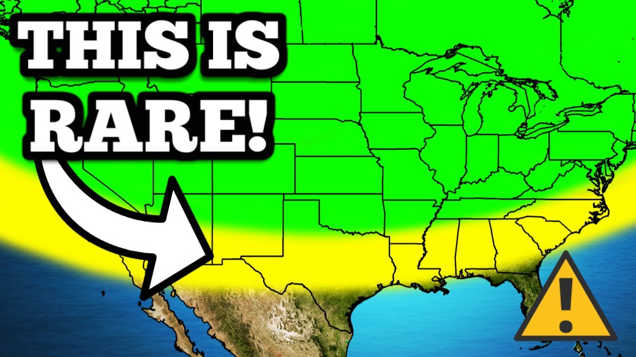
This Is Going To Cause WEIRD Weather…
Summary
TLDRIn the provided weather forecast transcript, the speaker discusses an approaching severe weather system characterized by a large mass of clouds in the southern region. The Storm Prediction Center has identified an enhanced risk of severe weather for several states, including Texas, Louisiana, Mississippi, Alabama, and the Florida panhandle. The primary threat is damaging winds, with a potential for hurricane force gusts, though hail and tornado risks are present, particularly around New Orleans and Mobile, Alabama. The forecast outlines the progression of storms throughout the day, with a focus on the Deep South and the potential for flash flooding. The speaker also touches on the broader weather patterns affecting the U.S., including a ridge in the northwest and a trough in the north, which could lead to further showers and thunderstorms. The summary concludes with a mention of the peak of the severe weather season in late May and an appeal for donations to support those affected by severe weather through theyallsquad.org.
Takeaways
- ☁️ A large mass of clouds is causing severe weather problems in the southern states of the U.S., including Texas, Louisiana, and Florida.
- 🌪️ The Storm Prediction Center has issued an enhanced risk of severe weather for certain areas, with a particular emphasis on damaging winds.
- 🌬️ While there is a hail threat and a tornado threat cannot be ruled out, the main concern is the potential for damaging winds, especially in East Texas and the Florida panhandle.
- 🌧️ The first round of storms is expected to cause problems across the Deep South, with a second round anticipated to follow.
- 🕒 The timing of the storms is such that the first round will be dying out as new storms form, with peak activity expected around 4 p.m. local time in various regions.
- 🌡️ The weather pattern suggests that the eastern U.S. will continue to experience rain and thunderstorms, with a persistent blue blob indicating sinking air and cooler temperatures.
- 🌤️ A ridge is attempting to form in the northwest, which could bring nicer weather, but also the potential for more showers and thunderstorms as the week progresses.
- 🌧️ There is a high likelihood of rain and thunderstorms continuing through the end of the week, especially in the eastern part of the U.S.
- 🚨 The tornado threat is not zero, particularly around New Orleans and Mobile, Alabama, with a 5% probability of a tornado within 25 miles of any given point in the affected zone.
- 🌈 Despite the potential for severe weather, the overall pattern suggests that most people will experience slightly cooler and wetter weather as a result of the trough moving into the north.
- 📅 Looking ahead, the weather pattern is notorious for creating a battle zone with lots of storms and chances for severe weather towards the end of May, which is the peak of the severe weather season.
Q & A
What weather phenomenon is causing problems in the southern region?
-A large mass of clouds, referred to as a 'big old blob of clouds,' is causing problems in the southern region, associated with an enhanced risk of severe weather.
Which states are under an enhanced risk of severe weather according to the Storm Prediction Center?
-Texas, Louisiana, southern portions of Mississippi, Alabama, and the panhandle of Florida are under an enhanced risk of severe weather.
What is the primary threat associated with the incoming storms?
-The primary threat associated with the incoming storms is damaging winds, with a potential for hurricane force winds at times.
Is there a significant hail threat with the approaching storms?
-While there is a hail threat, it is not considered significant compared to the wind threat.
What is the tornado threat level in the area around New Orleans and Mobile, Alabama?
-There is a 5% probability of a tornado occurring within 25 miles of any given point in the specified area, and a 2% probability in the surrounding green zone.
What time frame is expected for the first round of storms to cause problems across the Deep South?
-The first round of storms is expected to cause problems across the Deep South during the time of filming and will likely fizzle out by 4 p.m.
When is the hail threat expected to be the greatest?
-The hail threat is expected to be the greatest around 4 p.m. Eastern or 3 p.m. Central time.
What weather pattern is expected to form around 8 p.m. that could affect southeast Louisiana and New Orleans?
-A classic squall line or bow echo is expected to form, which could bring damaging winds to southeast Louisiana and New Orleans between 8 and 10 p.m.
What is the expected weather pattern in the Midwest and Ohio Valley on Tuesday?
-A spinning area of low pressure in the Midwest moving into the Ohio Valley is expected to spark new storms, potentially including small hail makers and isolated damaging wind events.
How does the weather pattern in the northwest and central U.S. influence the upcoming weather?
-A big Ridge is trying to form in the northwest, which could bring nicer and cooler weather, while a bit of moisture from the Pacific and cooler air from Canada could lead to another round of showers and thunderstorms towards the weekend.
What is the general weather outlook for the latter part of May?
-Towards the latter part of May, an extended period of nicer weather and higher temperatures is expected in the south towards the Great Lakes region due to a ridge, while the northwest will experience constant troughing with cooler air.
What is the potential for flash flooding in the deep south over the next few days?
-There is a significant potential for flash flooding in the deep south, particularly from South Carolina towards Louisiana, due to the heavy rainfall expected from the incoming storm systems.
Outlines
🌪️ Severe Weather and Storm Predictions
The video script discusses an impending severe weather situation, particularly in the southern states of the U.S. A large mass of clouds is causing concern, with the Storm Prediction Center issuing an enhanced risk of severe weather for regions including Texas, Louisiana, parts of Mississippi, Alabama, and the Florida panhandle. Two rounds of storms are expected, with the first occurring during the filming and the second following the video's release. The primary threat is damaging winds, especially in East Texas and towards the Florida panhandle, with a possibility of hurricane force winds. Although hail and tornado threats exist, they are not the main concern. The video provides a timeline for the storms, with specific times for various locations to expect severe weather. The radar images are also described, showing the progression of the storms throughout the day and into the next. The script also touches on the potential for tornadoes in certain areas, such as New Orleans and Mobile, Alabama, with a 5% probability within a 25-mile radius of specific zones. Lastly, the script mentions the formation of new storms in the Midwest and Ohio Valley on Tuesday, which could bring small hail and isolated damaging winds.
🌧️ Rainfall Predictions and Future Weather Patterns
The second paragraph focuses on the rainfall predictions and the broader weather patterns expected over the next week and beyond. It highlights that a significant amount of rain is expected in certain areas, particularly in the deep south from South Carolina to Louisiana, where there is a risk of flash flooding. The script outlines that while the rain will fall over an extended period, causing only minor accumulations each day, the cumulative effect could lead to flooding issues. The video also discusses the potential for recurring storms and severe weather, especially in May, due to the formation of a ridge in the south and cool air from the northwest affecting the north central U.S. The script provides a visual representation of the areas likely to receive the most rain, indicating that while some regions will experience heavy rainfall, it will not be concentrated enough to cause major flash flooding. The speaker reassures viewers that there are no major storm systems or tropical activity to report at the moment and encourages donations to support their efforts in helping those affected by severe weather through their nonprofit organization.
Mindmap
Keywords
💡Severe Weather
💡Storm Prediction Center
💡Damaging Winds
💡Tornado Threat
💡Hail Threat
💡Radar Imagery
💡Squall Line
💡Flash Flooding
💡Height Anomalies
💡Ridge
💡Cutoff Low
Highlights
Severe weather is expected in the southern states of Texas, Louisiana, Mississippi, Alabama, and the panhandle of Florida due to a large cloud mass.
The Storm Prediction Center has issued an enhanced risk of severe weather for the aforementioned areas.
Two rounds of storms are anticipated, with the first occurring during the filming and the second around the time the video is released.
The primary threat from the storms is damaging winds, particularly in East Texas and towards the panhandle of Florida.
There is a potential for hurricane force winds, although hail and tornado threats are considered lower.
Tornado probability within 25 miles of any point in the highlighted brown zone is 5%, and 2% in the green zone.
The radar forecast indicates the first round of storms will fizzle out, with new storms developing in Southeast Texas and Houston.
Hail threats are expected to be the highest around 4 p.m. Eastern, 3 p.m. Central, with potential for damaging winds and flash flooding.
By 8 p.m., a squall line or bow echo is expected to form, moving into southeast Louisiana and New Orleans with damaging winds.
The storms are projected to hit southern Mississippi and Alabama, and the panhandle of Florida in the early morning hours of Tuesday.
A fast-moving damaging wind event is anticipated, with minimal supercellular activity and low tornado threats.
A low-pressure system in the Midwest is expected to spark new storms on Tuesday, possibly producing small hail and isolated damaging winds.
Thunderstorms are also forecast for South Dakota, Nebraska, Wyoming, and potentially Canada and New England, though they are not expected to be significant.
A persistent blue blob on the map indicates a pattern of sinking air, cooler temperatures, and a higher chance of rain and thunderstorms in the eastern U.S.
A ridge is attempting to form in the northwest, which may bring nicer and cooler weather, but also the potential for more showers and thunderstorms.
The pattern could lead to localized severe weather, especially in May, which is the peak of the severe weather season.
A detailed map shows the probability of rain on Tuesday, May 14th, with the potential for heavy rain and thunderstorms in certain areas.
There is a risk of flash flooding in the deep south, particularly from South Carolina to Louisiana due to the amount of rain expected to fall.
The weather pattern over the next 8 to 14 days suggests a continued risk of recurring storms and potential severe weather, especially in May.
No major storm systems or tropical activity are currently expected, providing a temporary break before the next potential severe weather event.
The y'all squad is actively helping towns impacted by severe weather and accepting tax-deductible donations for their 501c3 Nonprofit organization.
Transcripts
Hello there, it's me again. We've got more severe weather on the way and a lot of other stuff to
talk about in the weather world, so let's get right into it. First of all, this big old blob
of clouds right here is causing us some problems today in the south Let's go ahead and talk about
that Storm Prediction Center has an enhanced risk of severe weather for Texas, Louisiana Southern
portions of Mississippi, Alabama and the panhandle of Florida associated with that big blob of clouds
that we just saw We got two rounds of storms coming across these parts of the world here One
of them's going across right now as I'm filming this the other one's gonna get its act together
around the time This video goes up. It's gonna bring about some severe weather. Now. The main
threat is gonna be this wind threat We're gonna have damaging winds, especially in East Texas
over there towards the panhandle of Florida an excessive hurricane force at times But for the
most part, this is gonna be the biggest problem There's not much of a hail threat even though
there is a hail threat and there's also not as much of a tornado threat Even though of course we
cannot rule out a tornado or two especially down there around New Orleans Especially down there
around Mobile, Alabama over towards, Pensacola We've got a 5% probability of a tornado happening
today within 25 miles of any given point in that brown zone there and even in The green that's 2%
Here's what the radar is gonna look like for the rest of the day 4 p .m. Our first round of storms
It's probably already caused quite a few problems across the Deep South is gonna be fizzling out
Okay, but we're gonna have some new storms popping up back here in Southeast, Texas Houston Watch out
4 p.m. Eastern 3 p.m. Central, honestly at this point This is probably when the hail threats
gonna be the biggest so you guys could probably get in on some hail But certainly some damaging
winds are possible over there Maybe even some flash flooding things are gonna get a little
bit more organized as we go towards 8 p.m As we're starting to see one of those classic squall lines
or bow echoes form here This is when things are gonna be moving into southeast, Louisiana,
New Orleans You guys can expect some of those damaging winds between 8 and 10 p.m Tonight those
will also be moving into southern Mississippi and Alabama and then things really get going here in
the panhandle of Florida in The early morning hours right before completely dying out almost
as we get into 5 6 7 a.m. On Tuesday So here's the progression of that. Once again, it's gonna be a
very quick-hitting fast-moving damaging wind wind bag Essentially the tornado threats not zero, but
I just don't see a lot of supercellular activity here Definitely get ready for those winds and then
as that stuff continues to die out across the Gulf of Mexico Watch the spinning area of low pressure
up here in the Midwest moving into the Ohio Valley spark up some new storms on Tuesday Okay,
these could actually be some small hail makers some isolated damaging wind makers on Tuesday
in the afternoon and evening in Kentucky down into Tennessee, Mississippi, Alabama,
Georgia We've also got a chance of some hailers and some general thunderstorms up here in South
Dakota Nebraska back into Wyoming a couple claps of thunder are possible up here in Canada down
into New England But none of these really look like they're gonna be big deals Okay, these are
general garden variety spring thunderstorms get used to them, especially if you're on the eastern
side of the u.s We're gonna be dealing with this for a while as you can clearly see here through
our blue blobs on this map here We're looking at height anomalies and typically the blue blobs are
associated with sinking air cooler temperatures and weather systems that bring about rain and
thunderstorms So you can see we've got a pesky one of those blue blobs hanging out all the way until
the latter part of the week Here in the eastern part of the u.s. Once again, this is going to
keep those rain chances around in those general garden variety Thunderstorms around through the
end of the week. We've got a big Ridge trying to form up here in the northwest Bring it about some
nicer weather some cooler weather but a little bit of moisture from the Pacific and some cooler
air from Canada's gonna try to come down into the central u.s. As we go towards the weekend
This will likely lead to another round of showers and thunderstorms now This one could probably end
up causing a larger storm system that we might have to watch a little bit closer This kind of
pattern in the past, especially in May does have a tendency to try to produce some localized severe
weather But for the most part I really do think that the vast majority of people here are just
gonna experience some slightly cooler weather and wetter weather as a result Of this larger trough
that's coming into the north here We're gonna have another cutoff low go through the south leading to
likely another storm system kind of like what we're seeing today Down there in the south as
we go towards the weekend and the overall pattern is eventually gonna build to this situation where
we're gonna have constant troughing over here in the northwest bringing cooler air into the
Pacific Northwest and we're really gonna try to have An extended period of time where we
get a ridge down here in the south over towards the Great Lakes region where we get our Period
of nicer weather and some higher temperatures as we go into the latter part of May But this
kind of pattern is notorious for in the middle creating a battle zone where we're gonna have lots
of storms lots of chances for severe weather as we go through the end of May which is our
Ideological peak of severe weather season and just to kind of put all that into an easier
to digest form for you here This is where it's gonna rain Tuesday May 14th at 5 p.m For example,
everybody in the green has a chance of rain the darker greens are heavier rain, maybe some
thunderstorms We've got a little bit of snow even moving into the higher elevations of Wyoming back
here with some of that cooler air loft Associated with our blue blobs notice how that rain lingers
in the east for quite some time and then we get that other storm system moving in and it's just
gonna be a Constant rain fest for a lot of us in the east until we get that Ridge trying to build
up here Which is gonna happen as we go towards the end of May all the way between now and May 22nd
These are the areas that are likely to see the most rain This tells the story of like what the
weather's gonna be like over the next week or so anybody in the oranges or reds There's quite a bit
of rain that's gonna fall here I wouldn't worry too much about it because a lot of this is gonna
fall over an extended period of time You might get a half an inch this day an inch this day. None of
this is likely gonna cause flash flooding problems However in the deep south from South Carolina back
towards, Louisiana You guys could actually have some flooding problems a lot of this is gonna
fall today But we do have that other system that's gonna work through during the weekend It's gonna
bring some more heavy rain down here. So flash flooding is definitely on the table for you guys
Unfortunately beyond that the only thing that we've got to watch out for it Once again is our
Ridge building up in the south and our cool air Continuing to come down from the northwest into
the more north central portions of the US. This is between the next 8 and 14 days So we're looking
deep into the future here Our pattern could shift a little bit like this and once again any time you
see a pattern like this you have to draw this Line in between them and that's where you're likely
to see recurring storms and maybe even severe weather, especially in May So thankfully there's
nothing huge going on here. I don't have any like major storm systems to show you nothing happening
in the tropics yet We're gonna enjoy this little bit of a break. I'm gonna keep you updated We're
gonna keep doing the weather and all that stuff But hopefully we go a couple weeks before we have
to talk about another potential tornado outbreak or anything like that in the meantime We've
got a lot of work to do the y'all squad has its plate full Because we've got a lot of towns that
we're gonna be going to to try to help people that were just impacted by severe weather So,
of course, nobody has to donate But if you want to make a contribution to our efforts over here
on theyallsquad.org You can hit that donate button and make a tax-deductible donation to our official
501c3 Nonprofit organization and every penny is going to go towards helping someone who has been
affected by severe weather whether it's hurricanes Tornadoes flash floods we've covered it all in the
past. We're gonna continue to cover it all in the future Thank you guys so much for allowing us to
do this and that's all I have for you today I'll see you in the next one. Goodbye Whoop!
5.0 / 5 (0 votes)