We’re About To Get Rocked By These Big Storms…
Summary
TLDRThe weather forecast video discusses an upcoming week of intense weather activity, with a focus on the potential for severe storms and a possible derecho. The video highlights the satellite imagery showing converging air masses over the U.S., indicating active weather patterns. It predicts extreme heat in Texas and Florida, with high-risk areas for severe weather including Dodge City and Wichita. The forecast also includes a detailed analysis of expected rainfall, wind threats, and the potential for tornadoes. The video concludes with a warning of an 'epic' severe weather outbreak on Tuesday, urging viewers to stay informed and subscribe for updates.
Takeaways
- 🌦️ There's an active weather pattern with showers and thunderstorms moving through Florida, indicating a busy week ahead for weather watchers.
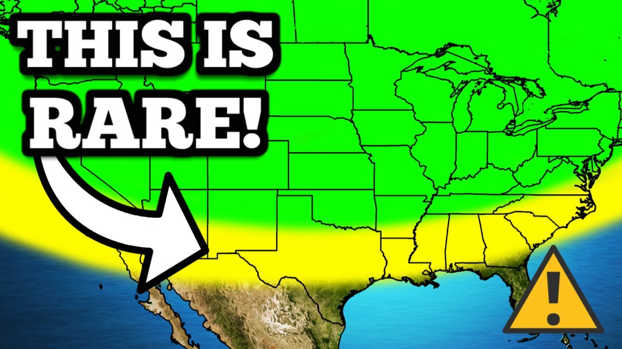
- 🌤️ Clouds are rapidly moving across the Pacific, heading towards the Baja Peninsula, which suggests a significant weather event for the southwestern U.S.
- 🌡️ Below average temperatures in the West and above average temperatures in the East are the main drivers for the extreme weather conditions.
- ☀️ Texas and Florida are expected to experience extremely hot weather over the next 10 days.
- 🌪️ The meeting point of two air masses poses a very real potential for severe weather, including the possibility of tornadoes and derechos.
- 🌧️ The total expected rainfall through Sunday, May 26th, shows two major hotspots, indicating areas prone to storms and heavy rain.
- 🌪️ Dodge City and Wichita are under a moderate risk for severe weather, primarily driven by the threat of 80 mph wind gusts.
- 🌬️ While the tornado threat is not the main concern, there is still a 5% probability of tornadoes in certain areas like Topeka, Wichita, and Dodge City.
- 🕒 The severe weather is expected to peak between 9 and 10 p.m., with the potential for damaging winds and organized storm systems.
- 📈 The weather pattern suggests a recurring severe weather threat throughout the week, with a particularly high risk on Tuesday due to a more substantial trough in the jet stream.
- ⏳ As the month of May progresses, the pattern of severe weather is expected to continue, with potential breaks only towards the beginning of June.
Q & A
What is the main topic of the video script?
-The main topic of the video script is the upcoming severe weather events, including thunderstorms and potential tornadoes, across the United States.
What areas are expected to experience showers and thunderstorms according to the script?
-The script mentions Florida and the Baja Peninsula as areas expected to experience showers and thunderstorms.
What weather phenomenon is the 'next big troublemaker' as mentioned in the script?
-The 'next big troublemaker' referred to in the script is the convergence of air masses from the Pacific and the north, which is expected to lead to active and interesting weather patterns.
What does the script suggest about the temperatures in the West and the East of the United States?
-The script suggests that there are below average temperatures in the West and very much above average temperatures in the East, which are major driving mechanisms for the crazy weather about to be experienced.
What is the potential severe weather threat for Dodge City and Wichita?
-The potential severe weather threat for Dodge City and Wichita includes a moderate risk of severe weather with a focus on 80 mile per hour wind gusts and the possibility of a derecho.
What is the expected rainfall pattern over the next week according to the script?
-The expected rainfall pattern over the next week shows two big hot spots towards the north and another towards the mid Mississippi River Valley and the Red River Valley, indicating where storms will be most concentrated.
What is a 'derecho' and how does it relate to the script's discussion on severe weather?
-A 'derecho' is a widespread, long-lived, straight-line windstorm that is associated with a band of rapidly moving showers or thunderstorms. The script mentions the possibility of a derecho occurring due to the strong line of storms expected in certain areas.
What is the script's forecast for the severe weather threat on Monday?
-The script suggests that the severe weather threat on Monday will ramp back up with a slight risk of severe weather, with more discrete, pop-up cellular systems that might increase the tornado threat.
What significant weather event is expected on Tuesday according to the script?
-The script anticipates a severe weather outbreak of potentially epic proportions on Tuesday, with a large dip in the jet stream and a convergence of ingredients that could lead to a significant severe weather event.
What is the general weather pattern expected throughout the rest of May according to the script?
-The general weather pattern expected throughout the rest of May is a recurring pattern of unstable air masses forming in the Midwest and South Central US, with a high likelihood of continued severe weather events until possibly the end of May.
What community efforts are being mentioned in the script in relation to severe weather impacts?
-The script mentions the 'y'all squad' channel's efforts in helping people impacted by severe weather, including spending over a hundred thousand dollars and providing updates on the ground.
Outlines
🌩️ Severe Weather Forecast and Trough-Ridge Pattern Analysis
The video script begins with a discussion of the active weather patterns, particularly focusing on the satellite imagery showing showers and thunderstorms in Florida and fast-moving clouds across the Pacific, indicating a significant weather event. The presenter highlights the convergence of air masses from the north and the south, which is a precursor to severe weather downstream. The main driver of the upcoming weather is the contrast between below-average temperatures in the West and above-average temperatures in the East, creating a trough and ridge pattern. This is expected to result in extreme heat in Texas and Florida over the next 10 days. The potential for severe weather is underscored by the expected rainfall map, which shows hot spots for storms in the northern and mid Mississippi River Valley areas. The script details the risk of severe weather, particularly in Dodge City and Wichita, with a moderate risk of 80 mph wind gusts and the possibility of a derecho. The tornado threat is present but not the primary concern. The radar forecast shows potential for storms to intensify into a mesoscale convective system (MCS) with damaging winds, especially in Kansas. The script concludes with a look at the HRRR model, which suggests a potential for supercells and further severe weather development.
🌪️ Anticipated Severe Weather Outbreak and Impact Analysis
The second paragraph delves into the forecast for a severe weather outbreak, potentially of epic proportions, driven by a significant dip in the jet stream and the convergence of cold air from Canada with warm, moist air from the Gulf of Mexico and the Pacific Stream. The script discusses the likelihood of this setup leading to severe weather, especially given the time of year and the lack of blocking weather patterns. The presenter anticipates an enhanced risk of severe weather on Tuesday, with a focus on areas that have already been impacted by severe weather this year. The potential for high convective available potential energy (CAPE) is highlighted, which could lead to a rapid development of storms. The recurring pattern of unstable air masses in the Midwest and South Central US is expected to continue, with the Storm Prediction Center already indicating a large area under a slight risk of severe weather for Wednesday, May 22nd. The script concludes with a mention of the ongoing efforts to support those affected by severe weather, including a recent tornado outbreak, and an invitation to subscribe to the channel for updates.
Mindmap
Keywords
💡Severe Weather
💡Trough
💡Ridge
💡Convective Available Potential Energy (CAPE)
💡Mesoscale Convective System (MCS)
💡Derecho
💡Tornado
💡Hail
💡Wind Gusts
💡Storm Prediction Center
💡Jet Stream
Highlights
A very busy week of weather events is anticipated with showers and thunderstorms moving through Florida.
Clouds racing across the Pacific are expected to affect Mexico and the southwestern United States.
The interaction of air masses from the north and the Pacific suggests an active weather period for downstream areas.
Below average temperatures in the West and above average in the East are the main drivers for the upcoming weather.
Severe weather potential is heightened where these air masses meet, particularly in Texas and Florida over the next 10 days.
Total expected rainfall through Sunday, May 26th, shows two significant hot spots for storms.
A moderate risk of severe weather is forecast for Dodge City and Wichita, with a slight risk extending to North Dakota.
The primary threat of severe weather today is from 80 mph wind gusts, with a possibility of a derecho.
A 5% probability of tornadoes exists in Topeka, Wichita, and Dodge City, though not the main concern.
Storms are expected to intensify in the evening with damaging winds becoming a larger problem.
A mesoscale convective system (MCS) is expected to form in Kansas by the evening, posing a threat of damaging winds.
The HRRR model suggests a potential for supercells or a multi-cellular cluster in Oklahoma, indicating a tornado threat.
Severe weather threat is predicted to decrease in the early morning hours but will ramp up again on Monday.
A more discrete cellular system on Monday might increase the tornado threat, although conditions for tornado genesis are limited.
A significant severe weather outbreak is anticipated on Tuesday with a large dip in the jet stream.
Convective Available Potential Energy (CAPE) is expected to be very high, particularly in Nebraska and Iowa.
The pattern of trough dips suggests a continuation of severe weather through the end of May.
The Storm Prediction Center has highlighted a large area under a slight risk of severe weather for Wednesday, May 22nd.
A potential break in severe weather may occur around the beginning of June.
Transcripts
Things are getting plum wild out there in the weather world. It's about to be a very busy week,
and I'm here to try to make it all make sense to you. This is what the satellite looks like as I'm
recording this video. We've got some showers and thunderstorms moving through Florida. This is our
next big troublemaker, okay? This is what we're going to be talking about a lot today, but I want
you to pay attention to these clouds down here, okay? See how they're racing across the Pacific,
getting ready to go over the Baja Peninsula. All of that moisture is working up towards Mexico and
the southwestern United States. eventually that's gonna pour over into the plains. But
I want you to notice something else. Look at these clouds from the north also coming down
in the same area. Whenever we see that kind of mixing, whenever we see those two air masses
pointing towards each other, it usually means a very active or at least a very interesting
period of weather for the areas downstream, okay? So that's what's going on. The main driving
mechanism for all the crazy weather we're about to experience is the below average temperatures
in the West and the very much above average temperatures in the east. We've got this trough
and ridge pattern. We're going to be, I mean, just absolutely blazing hot in Texas and Florida over
the next 10 days or so. And remember, where those two air masses meet, that's where we are mostly
concerned about the very real potential for severe weather. We're going to have a lot of different
opportunities right here in this channel. A pretty good way to quantify this is by looking at the
total expected rainfall over the next week or so. This is through Sunday May 26th. You can see that
we've got two big hot spots one up here towards the north and then another one down here towards
the mid Mississippi River Valley back towards the Red River Valley. This is where we're gonna see a
lot of storms over the next little bit and we're also gonna see storms in the middle don't get me
wrong in fact some of our strongest storms might occur in the middle here we'll talk about that
here in a minute but you can see where all the stormy weather is gonna be most concentrated
over the next week. Starting today we've got a moderate risk a four out of five severe weather
risk for Dodge City and Wichita. Slight risk goes all the way up to close to Aberdeen and a little
bit of southern portions of North Dakota. This is mostly driven by a wind threat okay so most
of our moderate risks this year have been tornado driven. This one is 80 mile per hour wind gusts
maybe even higher. We might even see a derecho today. It's obviously we don't know that we won't
know until after the storms over but that's kind of what we're watching for in Dodge City, Topeka,
and Wichita today as a really strong line of storms is going to come through the hatched
region here and we do expect to see some intense damaging winds. The tornado threat is not the main
driving factor behind today's severe weather risk but it's also not zero. We do have a 5%
probability of seeing a tornado or two in Topeka, Wichita, and Dodge City as well. You know, I just
don't think that the tornado threat is going to be the main thing today. With that being said,
let's take a look at the radar and what it could look like as the day progresses. Here we are about
4 or 5 p.m. We're gonna start to see storms fire up in the front range of Colorado over towards
the panhandle of Oklahoma, western Kansas, up here into Nebraska and South Dakota as well. When these
things first pop up, hail and winds are gonna be a problem, but the big-time damaging winds won't
become a larger problem until we get a little bit more organization. You can see that we have
a full-fledged MCS or mesoscale convective system expected here in Kansas by around 7 or 8 p.m. this
evening. We're also going to have some scattered severe thunderstorms down here in the southeast as
well. Look out down there near Savannah, Georgia down towards pretty much the entire peninsula of
Florida. But once again around 8 p.m. we're gonna be watching this MCS potentially cause
damaging winds here as it moves through Kansas. Now the HRRR model is continuing to try to paint a
supercell or maybe another multi cellular cluster down here to the south of that main line. If this
is the case, then we might have a little bit more of a tornado threat down here in Oklahoma.
But right now, most of the models and most of the guidance is just expecting to see this big bowing
segment of strong storms up here in Kansas. Between 9 and 10 p.m. this evening, that's
when some of the strongest winds are going to be expected. We are expecting some strong storms up
here farther to the north as well, as far north as Canada. A lot of Minnesota down here into South
Dakota and Nebraska, you guys are going to get in on some of these strong storms, but they're not
going to be nearly as intense what we're seeing down here farther to the south. Now I think that
once we lose that daytime heating and especially as we go towards 1 a.m. 2 a.m. in the early
morning hours tomorrow the severe weather threat is going to die down a little bit but as you can
see here as predicted by the Storm Prediction Center it's gonna ramp right back up as we go
into the heating of the day on Monday where we have another slight risk of severe weather here.
Notice how those original storms kind of fizzle out and their outflow boundaries give way to new
storms as we go into the afternoon and evening hours. On Monday, a little bit more of a discrete
kind of pop-up cellular kind of system on Monday. That might mean that there's a little bit more of
a tornado threat here. However, the ingredients for tornado genesis aren't going to be very ample,
I guess I should say. So I'm not seeing a huge tornado outbreak with this. However, the fact that
we are seeing some more isolated convection, maybe it's a sign that we should watch it a little bit
more closely. But this is also going to organize into a big-time MCS or cluster of storms that'll
probably mostly be a damaging wind producer as we get into the early morning hours on Tuesday. And
by Georgie's, it doesn't even stop there. I want you to look at this. This little divot right here
on our 500 millibar map, that's what's causing all of our problems with our potential derecho
and all that stuff today and tomorrow. That little dip, alright, as inconspicuous as a little blip,
never underestimate a dip. We've got ourselves a much bigger dip coming in on Tuesday, okay,
so this more substantial trough here is going to bring in some of that cold air from Canada and
allow for a lot of lift from you know the Gulf of Mexico and it's also going to combine that
Pacific Stream in this mixture and this is when we're really going to start to see our big-time
severe weather threats start to actualize. Tuesday we're gonna see all these ingredients
come together we're gonna have a much larger dip in the jet stream here. I do expect a severe
weather outbreak of potentially epic proportions on Tuesday. Now I don't know if this is going to
be a tornado outbreak or a, you know, another derecho kind of thing. It's too early to talk
about that right now, but I am very confident that given climatology, okay, it's May 21st,
whenever we see a, you know, a big trough like this on May 21st and there's not anything blocking
the southern flow from the Gulf of Mexico, this is going to be a pretty big time severe weather
event. So we're watching it closely. So is the storm prediction. Already got that day enhanced
risk here for La Crosse, down through Des Moines, Kansas City, Topeka once again. Unfortunately it's
gonna be impacting a lot of people that have been impacted already by severe weather this
year and probably are done with it. If there's a day that we're gonna go live on this channel this
is gonna be it I think. On Tuesday we are gonna have quite a bit of CAPE convective available
potential energy. Maybe you know as far north as into Nebraska and Iowa maybe over 3,000 joules
per kilogram which is and we're gonna see that kind of getting eaten up really quickly as that
line of storms does eventually form. But you can see here that we're just going to have a
recurring pattern where very unstable air masses are going to be able to form here in the Midwest
down into the South Central US. And if we continue to watch our trough patterns, look there's another
dip that comes through on Wednesday May 22nd. Another dip, another dip, like this is a pattern,
this southwest to northeast pattern where we have a Separation between cool air and warm air in May
is just kind of the perfect setup for severe weather So like as long as that continues to
be the case We're gonna have a lot of chances of severe weather and it looks like that's
gonna continue to be the case all the way through Maybe the end of May so we might get a little bit
of a break right around the beginning of June it seems But right now we are locked in Sun all the
way through May 28th At least storm prediction center already highlighting a huge area under a
slight risk of severe weather on Wednesday, May 22nd This is from Detroit and Cleveland, Ohio,
back towards Dallas and Waco. And then a rare day five, slight risk in Oklahoma, Arkansas,
Texas, and Louisiana. So you guys, once again,
are going to get tired of seeing my face. I think over the next week or so. All right. That's all
the weather talk I have for you today. Once again, I don't think that I'm going to be going
live for today's wind threat. However, there is a chance that I go live tomorrow. There's
a chance that I go live on Tuesday, especially there's a chance I go live Wednesday and Thursday
as well. So make sure you're subscribed to the channel with notifications on and also,
please subscribe to the y'all squad our channel over here We're about to hit 35,000 subscribers.
Just search the y'all squad on YouTube We've got a new video that we just did on the tornado outbreak
that occurred in Nebraska, Iowa and Oklahoma On April 26th and April 27th We've spent well over
a hundred thousand dollars at this point helping people that have been impacted by severe weather
and we're still on the ground Doing work right now We've got another update video coming for
you at the end of May if anybody has you know Contributed at all you can see how that money is
doing work here through these videos once again a tornado Destroyed her house while she was inside.
That's the latest one there about our significant tornado outbreak that occurred
last month Thank you all so much for watching. I'll see you in the next one. Goodbye Whoop!
5.0 / 5 (0 votes)